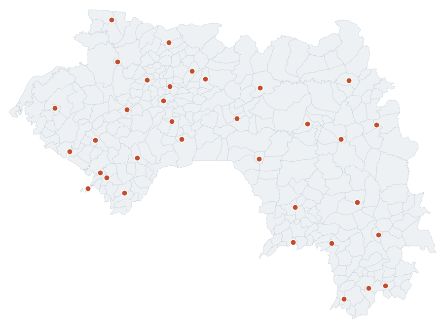
RDS network chief towns, raw solar measurements, Guinea
Reference localities of the RDS network of Guinea with the raw solar irradiance (GHI, DNI, DHI) from NASA POWER, used as support for the calibration. Open data.
Simple
- Date (Publication)
- 2026-09-12
- Citation identifier
- kuma_ouvert:rds_chefs_lieux
- Keywords
-
-
RDS
-
chief towns
-
solar measurements
-
GHI
-
DNI
-
DHI
-
measurement station
-
Guinea
-
-
GEMET - INSPIRE themes, version 1.0
-
GEMET - Concepts
-
Gazetteer administratif de la Guinée
- Use limitation
-
Open data, reusable with attribution.
- Access constraints
- Other restrictions
- Other constraints
-
CC BY 4.0 licence: https://creativecommons.org/licenses/by/4.0/ RDS Guinea series, DOI 10.5281/zenodo.21051754. Attribution required: Solar Atlas of Guinea, operated by Kuma Science.
- Aggregate Datasetindentifier
- d89ceb01-52ef-5c6f-b9bc-7736e22fa9f0
- Association Type
- Cross reference
- Aggregate Datasetindentifier
- 2589d532-fac8-5426-8c33-a5a9aee40480
- Association Type
- Cross reference
- Aggregate Datasetindentifier
- b28af72f-630d-5d93-ac98-32f59eba5b80
- Association Type
- Cross reference
- Aggregate Datasetindentifier
- 6cff48b7-9c38-5710-96fe-eef3ddf81839
- Association Type
- Cross reference
- Aggregate Datasetindentifier
- a1bc196e-11cd-5e41-bc9a-89fde39c6ee6
- Association Type
- Cross reference
- Spatial representation type
- Vector
- Language
-
fre
- Topic category
-
- Climatology, meteorology, atmosphere
))
- Begin date
- 1991-01-01
- End date
- 2020-12-31
- Reference system identifier
- EPSG:4326
- Distribution format
-
-
GeoJSON
(
RFC 7946
)
-
GeoJSON
(
RFC 7946
)
- OnLine resource
-
kuma_ouvert:rds_chefs_lieux
(
OGC:WMS
)
WMS visualisation
- OnLine resource
-
kuma_ouvert:rds_chefs_lieux
(
OGC:WFS
)
WFS download
- Hierarchy level
- Dataset
- Statement
-
Chief towns of the RDS network of Guinea with the raw solar irradiance (GHI, DNI, DHI) from NASA POWER. RDS Guinea series, CC BY 4.0, DOI 10.5281/zenodo.21051754.
- Included with dataset
- No
- Feature catalogue citation
- File identifier
- ba6740c3-e2cf-5a7d-81a6-5da8aa1b598a XML
- Metadata language
-
fre
- Character set
- UTF8
- Hierarchy level
- Dataset
- Date stamp
- 2026-09-19T12:17:40
- Metadata standard name
-
ISO 19115:2003/19139
- Metadata standard version
-
1.0
Overviews
Spatial extent
Provided by