 Catalogue solaire de la Guinée
GeoJSON
Type of resources
Available actions
Topics
Provided by
Formats
Representation types
-
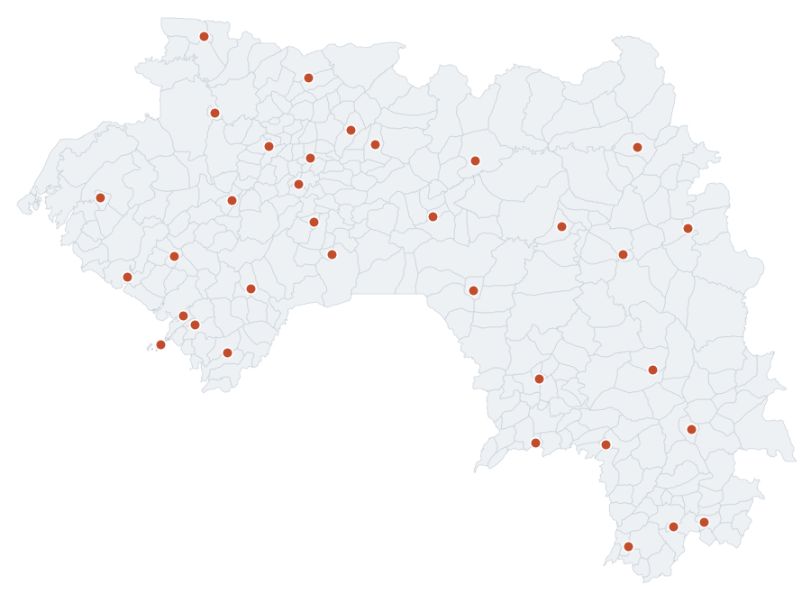
Reference localities of the RDS network of Guinea with the raw solar irradiance (GHI, DNI, DHI) from NASA POWER, used as support for the calibration. Open data.
-
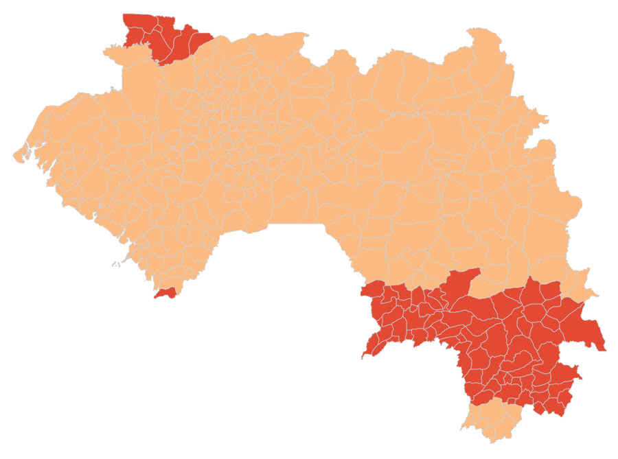
Calibration coverage status and expected residual uncertainty (p80) by sub-prefecture of Guinea, without the calibrated values, published in a dedicated layer. Shows where the calibration is robust and where local instrumentation is recommended.
-
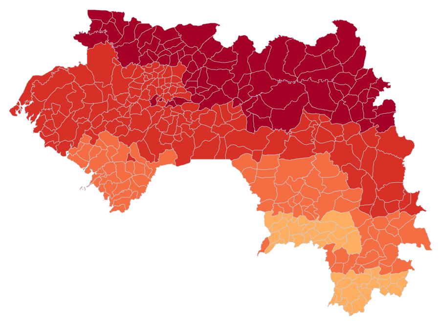
Calibrated solar irradiance (GHI global horizontal and DNI direct normal) for the 340 sub-prefectures of Guinea, derived from the NASA POWER satellite corrected against ground measurements by a multi-donor ground calibration. The layer also carries the graded calibration confidence, the expected residual (p80), the latitude donor stations, and the derived operational quantities (HEP equivalent hours, specific yield, variability, diffuse fraction, humidex). For each sub-prefecture the layer also carries: the raw satellite-estimated global horizontal irradiation (NASA POWER, annual and monthly means, 1991 to 2020), for comparison with the calibrated value; the year-to-year variability of calibrated GHI (median year, value reached nine years out of ten, extreme years, 1991 to 2020); the monthly profile of calibrated DNI; and the coordinates of the reference point.
-
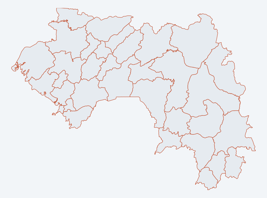
Administrative division of Guinea at prefecture level (ADM2), 34 prefectures, COD-AB baseline. Intermediate level between region and sub-prefecture, cartographic support for the solar atlas layers.
-
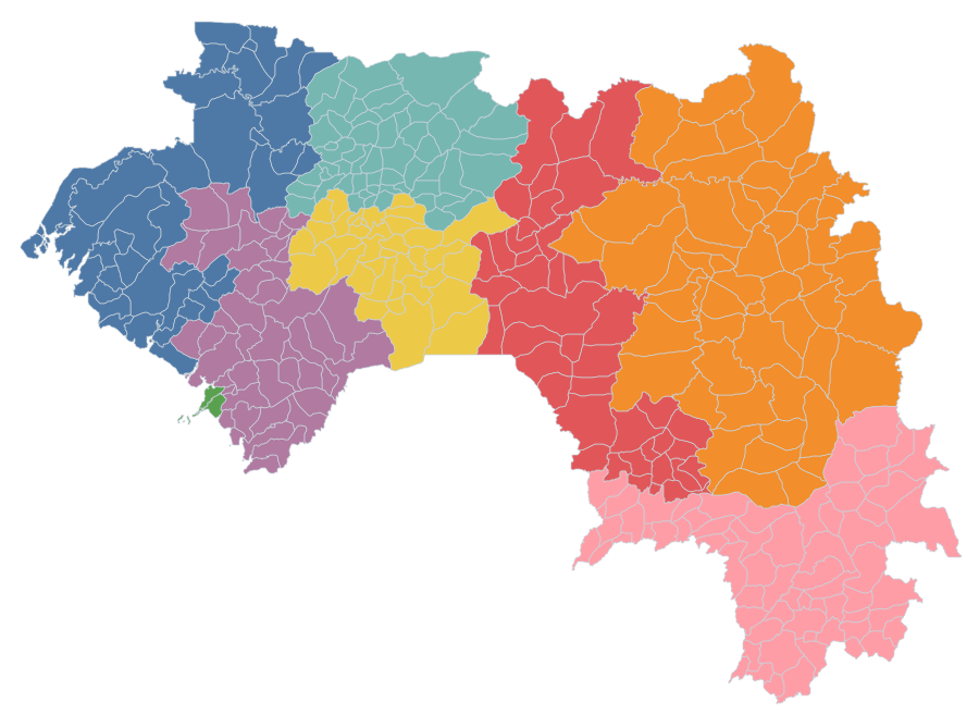
Administrative division of Guinea (sub-prefectures ADM3 level, prefectures ADM2 level), COD-AB baseline, cartographic support for the solar atlas layers.